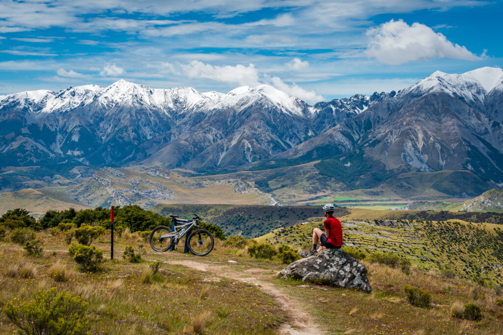
Castle Hill Basin
Location
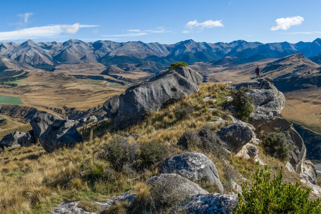
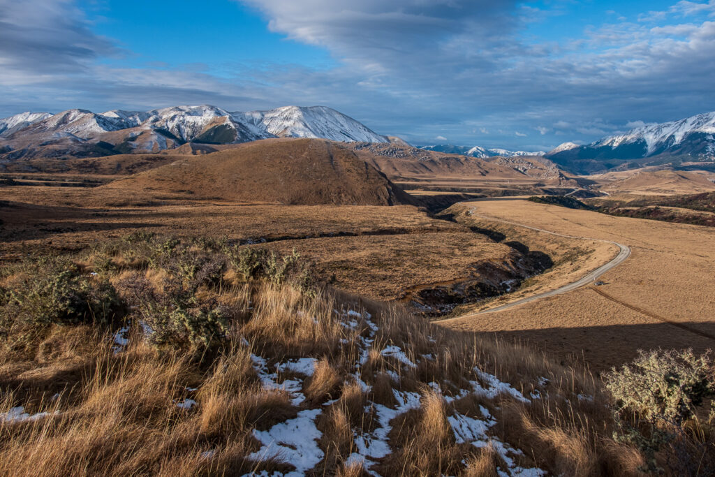
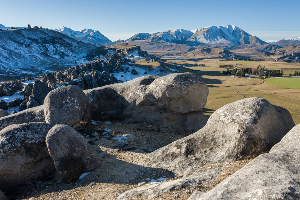
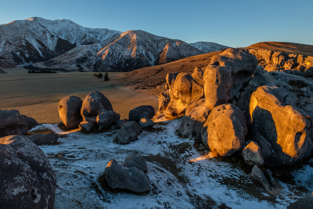
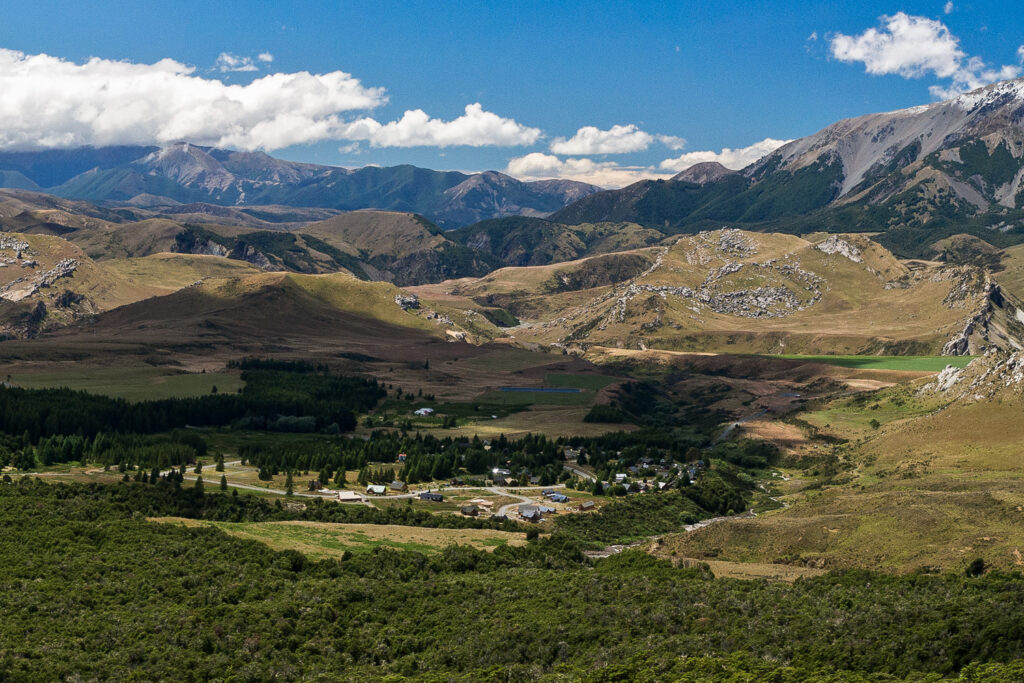
Castle Hill Basin is located in the Canterbury high country at an altitude of 700m approximately 90km northwest of Christchurch. It lies between the Torlesse and Craigieburn mountain ranges and is characterised by its distinctive limestone rock formations. These limestone rock formations are the water eroded remnants of limestone formed during the Oligocene age 30-40 million years ago when much of present day New Zealand was covered by the sea.
Kura Tāwhiti
The area is of special cultural, spiritual and historical significance to Ngai Tahu who named it Kura Tāwhiti (treasure from afar). Hidden amongst the limestone outcrops of Castle Hill are traces of 500-year old charcoal drawings traditionally said to have been left by the Waitaha, the first people to travel through this area. In 1998 the Kura Tāwhiti Conservation Area was designated as Topuni to ensure that the values Ngai Tahu place on this area are recognised, acknowledged and respected.
Castle Hill Village
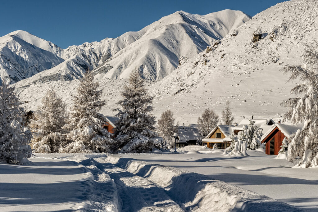
Castle Hill Village is the only permanent settlement of any significant size in the Castle Hill Basin area. Click here for more information about the village.
Outdoor Activities
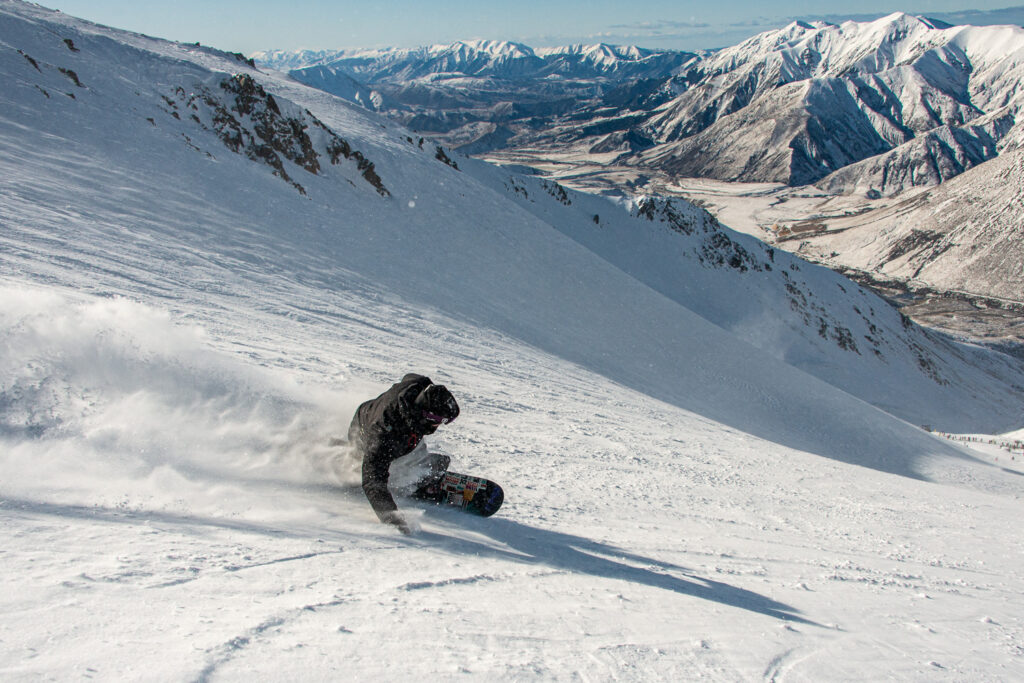
The Castle Hill area is an ideal base for outdoor activities- it is close to several skifields, as well as the Craigieburn Forest Park and the Korowai/Torlesse Tussocklands Park for tramping, climbing and mountain biking. The Castle Hill/Kura Tawhiti limestone rock formations offer world class bouldering and rock climbing. Other activities in the area include caving and trout fishing.


