Craigieburn Trails iPhone App

Half of the proceeds from the sale of this app go toward trail development and maintenance.
The app provides:
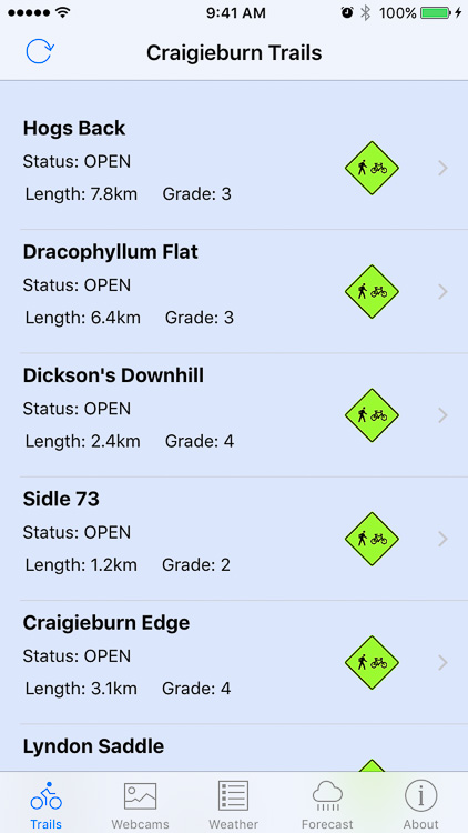
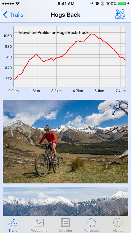
- information on each trail within the Craigieburn Trails area (open/closed status, description, map, elevation profiles and photos),
- current weather conditions in the Castle Hill Basin (readings updated every 5 minutes),
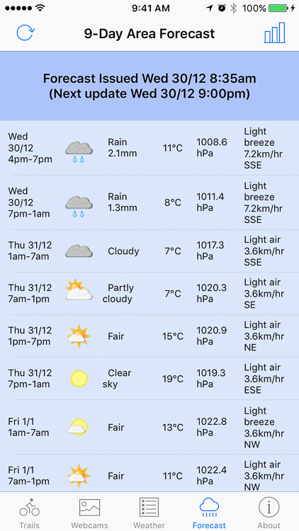
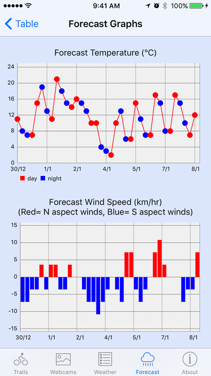
- a 9-day weather forecast for the Castle Hill area.
Trail Information
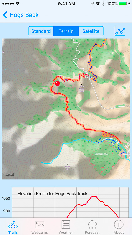
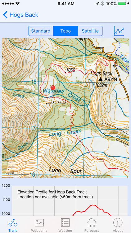
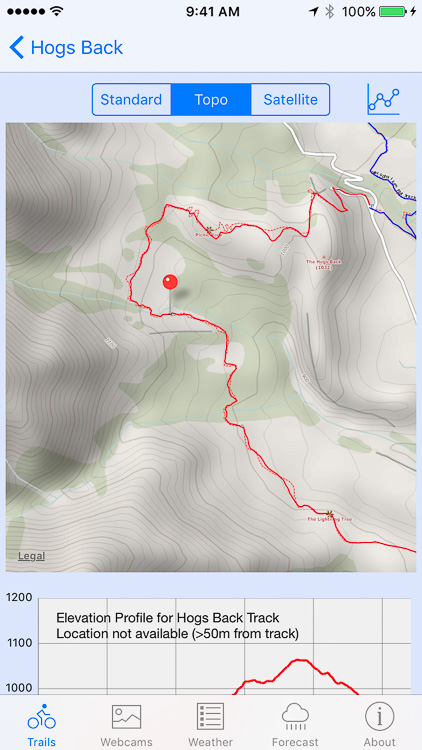
The app lists the trails available within the Craigieburn Trails network using information supplied from the Craigieburn Trails website. Trail descriptions, length, grade, altitude gain and loss for each track, as well as elevation profiles and a route maps, can be viewed by selecting a name from the list. The map and elevation graph will actively track your position while you are on any particular track. Options are provided to view either the standard Apple map, a satellite image map or a topographical map. The maps can also be tilted (using a two-finger drag) to show a 3D inclined view. Selecting a pin will display a popup with the track name and status.
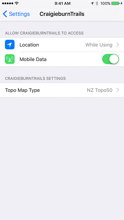
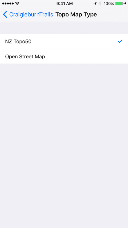
The app topo map view can be set to display either the NZ Topo50 or Open Street Map map types. The map type can be changed by opening the iPhone Settings and selecting the CraigieburnTrails option as shown below.
Webcam Images
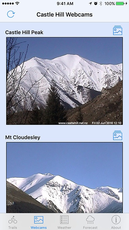
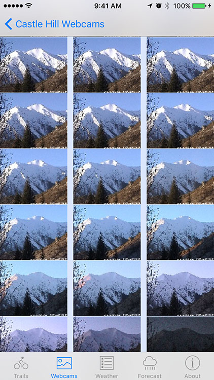
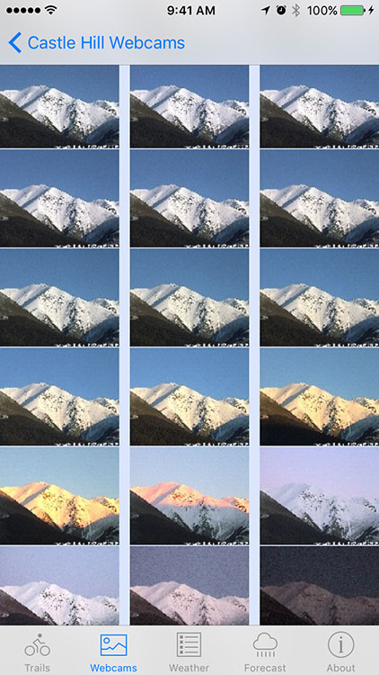
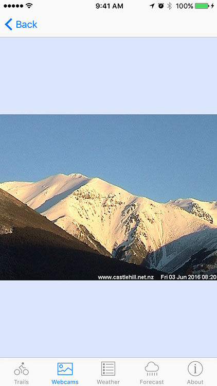
The app displays images from webcams located in Castle Hill Village. The webcam images are updated every 5 minutes during daylight hours and show views east from the village towards the Torlesse Range and Castle Hill Peak, and west towards the Craigieburn Range and Mt Cloudesley. Thumbnail images for approximately the last 24 hours can also be viewed. Individual images can also be viewed by selecting any particular thumbnail.
Current Weather Conditions
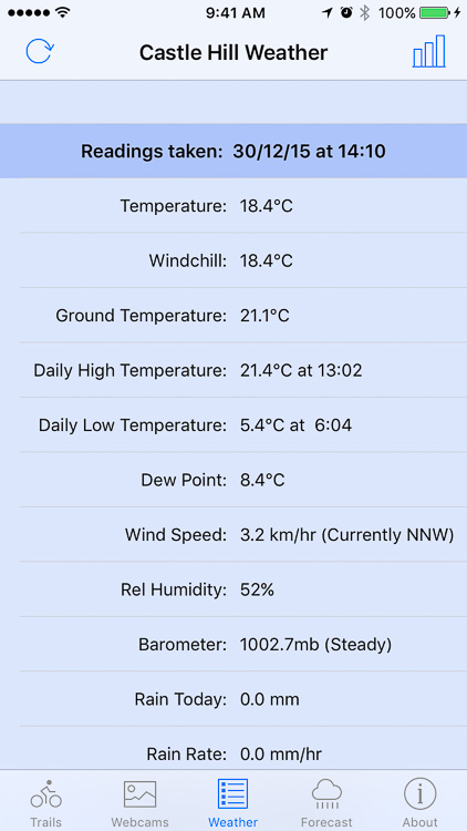
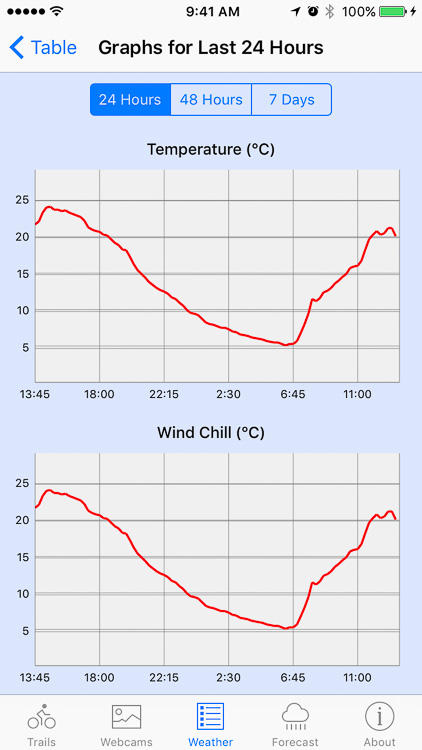
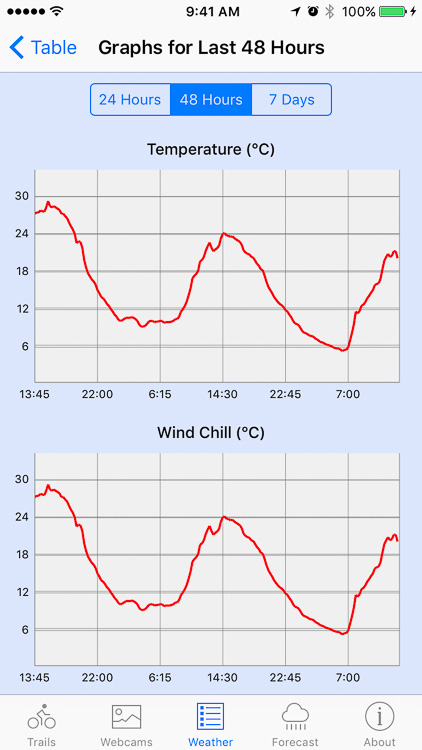
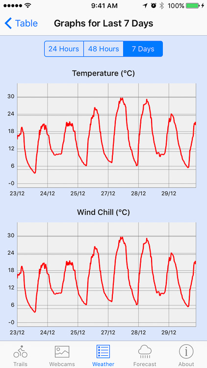
The app displays a table of weather readings as supplied from the weather station located in Castle Hill Village updated every 5 minutes. The weather data can be viewed as graphs with options for the last 24 hours, 48 hours and 7 days.
Weather Forecast
The app displays a 9-day weather forecast for the Castle Hill area as supplied by the Norwegian Meteorological Institute. The forecast information can also be displayed graphically.


